The Viewpoints of La Cumbrecita
Route Details
2 h
3040 m
Circular
910 m (30 %)
2130 m (70 %)
Terrain
earth: 2540 m (84%)
stone paving: 430 m (14%)
asphalt: 70 m (2%)
Reservation

Guía en español
Führung in deutsch
Guide in english
DISCOUNTS
Advance purchase (Min. 5 days): 10%
CODE:
SLPANT10
* Discounts are not cumulative.
Large group Booking (AT least 5 people): 10%
CODE:
SLPGRU10
* Discounts are not cumulative.
SERVICE
- Interpretive guided tour
- Information on visits and locations
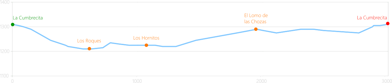
1230 m / 145 m
500 m
1310 m / 145 m
DescripTION
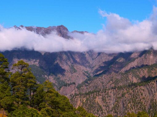
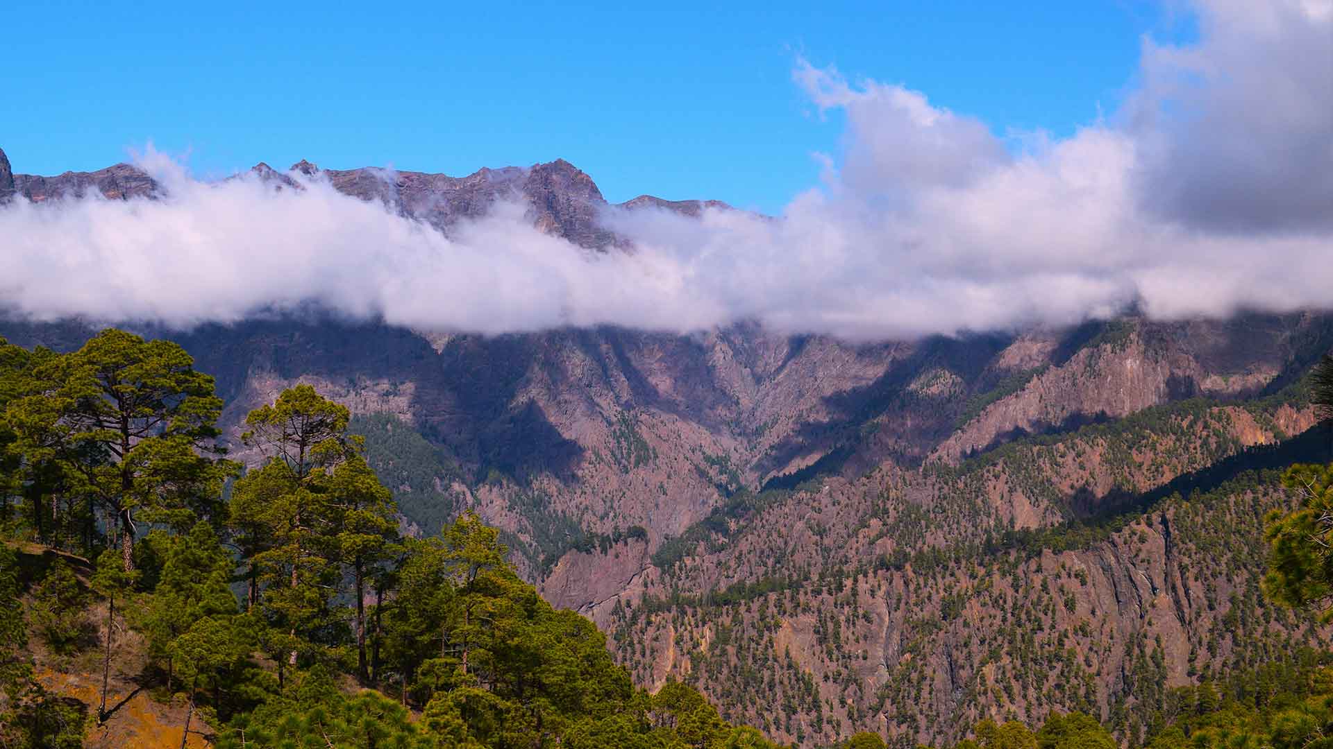
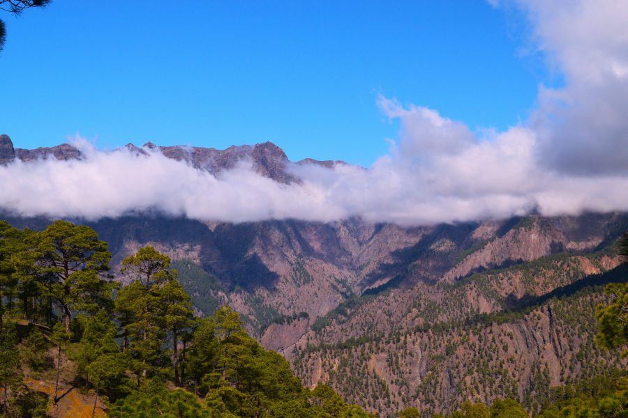
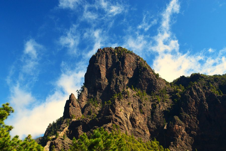
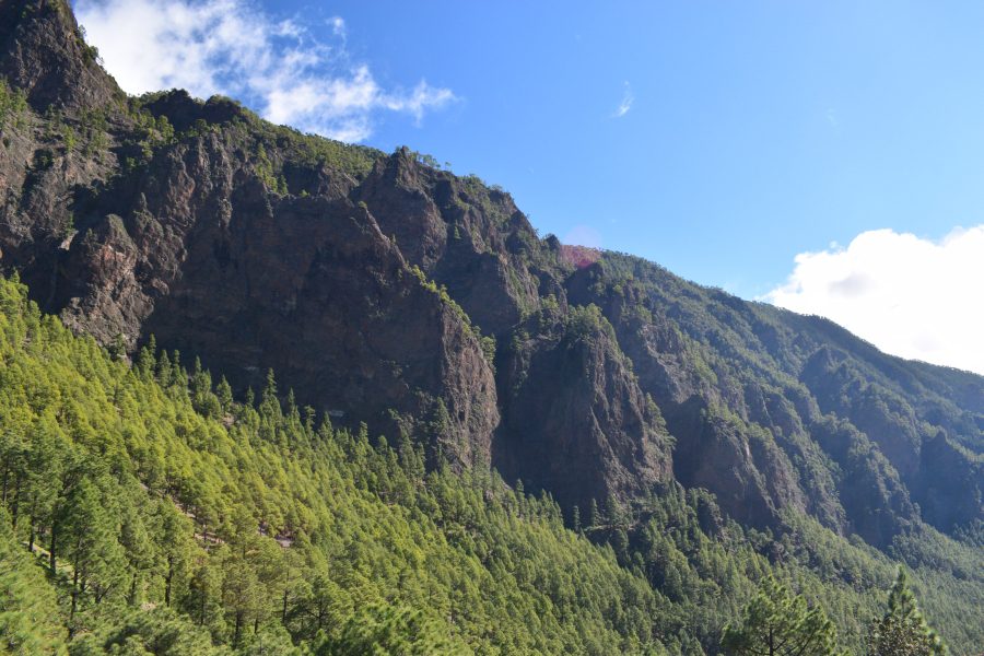
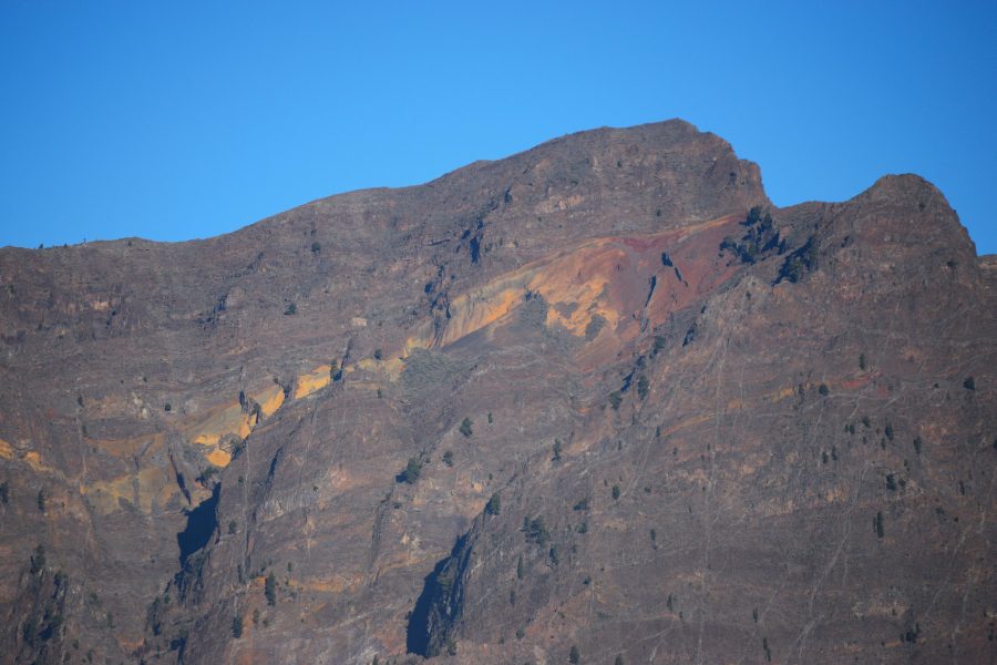
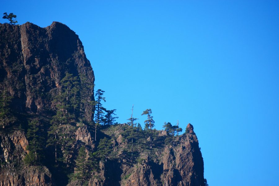
La Cumbrecita is one of the most visited spots in Caldera de Taburiente, offering easy access to views into one of Spain’s earliest national parks. Its sheer cliffs provide a window into the formation of La Palma and the other islands of the Canary Islands archipelago.
Geology is this national park’s greatest natural asset, while water is its main economic resource today. From the time of La Palma’s indigenous inhabitants to the present day, this deep heart of the island has shaped much of its history. On an easy, enjoyable walk, we will explore its natural features, history and economic importance.
Meeting Point
Road: LP-3
Kilometer marker: 20.10
Coordinates:
– X: 221,178.56
– Y: 3,172,967.18
– Z: 847.26 m
Starting Point
La Cumbrecita Viewpoint, El Barrial, El Paso
Road: LP-302
Kilometer marker: 6.62
Coordinates:
– X: 220,874.86
– Y: 3,177,822.37
– Z: 1,306.39 m
Arrival Point
La Cumbrecita Viewpoint – La Cumbrecita, El Barrial, El Paso
Road: LP-302
Kilometer marker: 6.62
Coordinates:
– X: 220,874.86
– Y: 3,177,822.37
– Z: 1,306.39 m
YOUR OWN CAR
Gallery
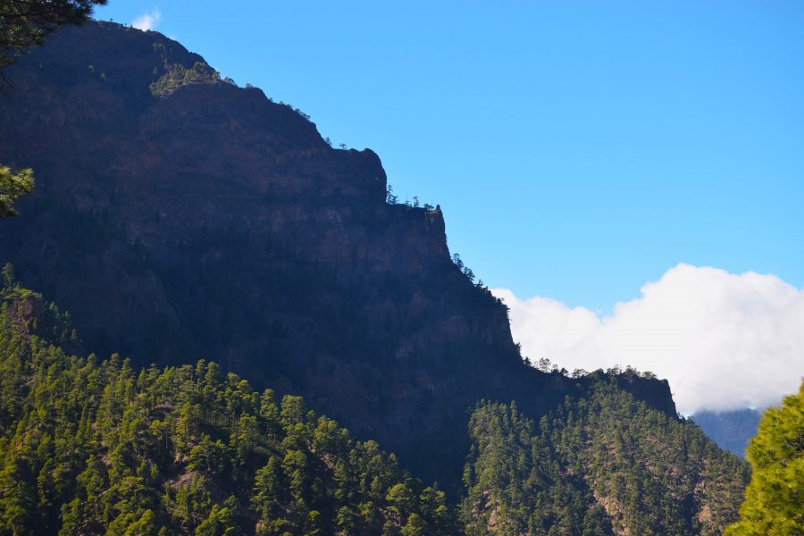
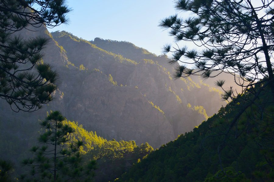
DIFFICULTY
-
Easy for mountain walkers, regular hikers and even people with little hiking experience.
-
Moderate for people with obesity, children under six and those who are not used to physical exercise.
-
Difficult for people who are significantly overweight and do very little physical activity.
-
Extremely difficult for people who suffer from vertigo, on the section between Los Roques Viewpoint and Las Chozas Viewpoint.
PRECAUTIONS
-
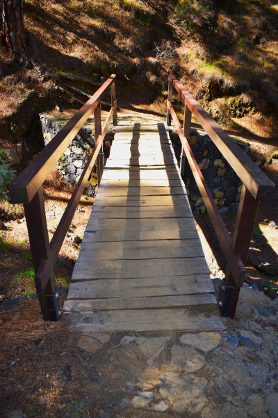
Some sections between Los Roques Viewpoint and Lomo de las Chozas Viewpoint are narrow, with steep drops alongside the path. Take care to avoid falling into the gullies.
-
During the cooler months, temperatures can drop when the sun disappears behind Pico Bejenado. You will need to put on a warm jacket.
POINTS OF INTEREST
-
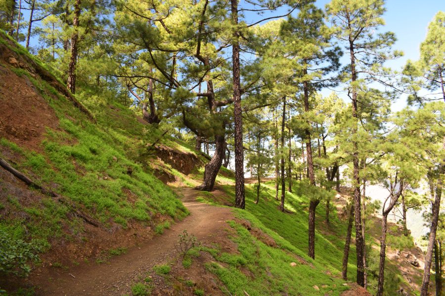
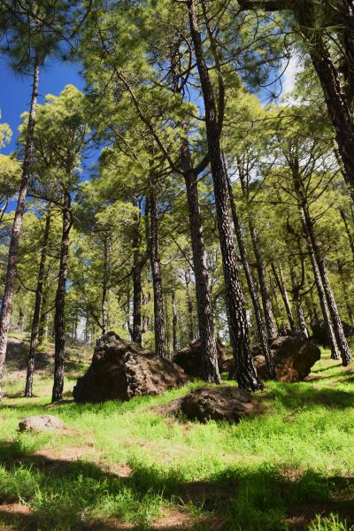
Vegetation: Pine forest
-
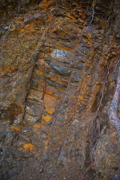
Geology: The earliest stages of the island’s formation
-
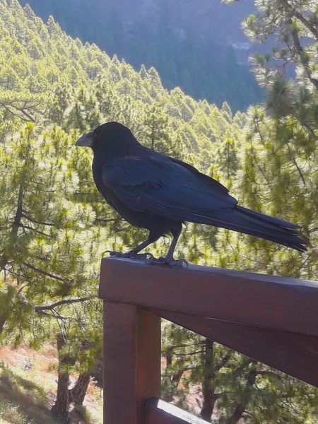
Wildlife: Birdlife
-
History: Water, livestock farming and forestry
-
Landscape: Caldera de Taburiente
RECOMMENDATIONS
Footwear
-
Hiking boots: Necessary. Many sections of the path have raised rocks and uneven surfaces that can make walking more difficult and create a risk of tripping.
-
Trainers: Recommended, although you should watch your footing to avoid tripping.
-
Light footwear: Not permitted. The path surface and its uneven sections can lead to injuries.
Clothing
-
Breathable clothing: Suitable during the warmer months.
-
Warm clothing: Suitable during the cooler months.
Protection
-
Cap or hat: Optional. Most of the route is shaded by pine trees.
-
Warm jacket or windproof jacket: Recommended on cold and/or windy days.
-
Waterproof jacket: Recommended on days with light rain.
-
Umbrella: Recommended on days with light rain.
-
Gloves: Optional, for people who feel the cold.
-
Walking poles: Optional, for people with joint pain in their legs.
-
Sunglasses: Not recommended, as the sun will already have passed behind the hills to the west by the time the walk begins.
-
Sunscreen: Recommended on sunny days.
Food and Drink
-
Drinks: Optional, as the route is short and not very demanding.
-
Food: Not recommended, given the short duration of the activity.
Physical Fitness
This activity is not recommended for children under six or people who suffer from vertigo.
Other Tours You May Like